Target Counties — Kenya ASAL Region
Click a county on the map to highlight it below.
Turkana
77,000 km²
Lotikipi & Napuu aquifers
Marsabit
70,000 km²
Walda/Rawana & Logologo
Mandera
26,000 km²
Elwak & Mandera West
Wajir
56,000 km²
Merti & North Basement
Garissa
44,000 km²
Neogene (Lamu Embayment)
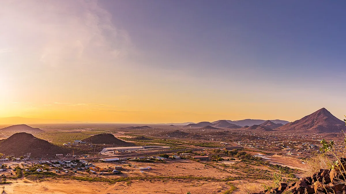
TK
Turkana
County
Area
77,000 km²
Sub-PIU
Turkana County Headquarters
Aquifers:
Lotikipi & Napuu
Kenya's largest county, highly water-stressed. Home to critical NEDI aquifers including Turkana Basin groundwater systems.
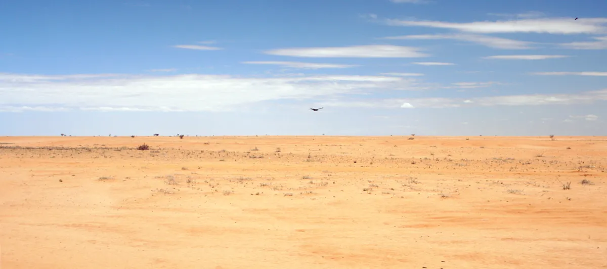
MB
Marsabit
County
Area
70,000 km²
Sub-PIU
Marsabit Town
Aquifers:
Walda/Rawana & Logologo-Shuur
Vast ASAL region in northern Kenya with significant groundwater potential under the Chalbi Desert basin system.
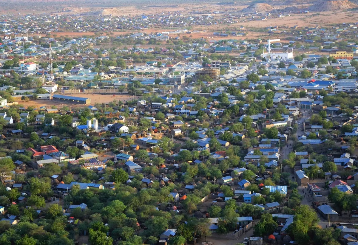
MD
Mandera
County
Area
26,000 km²
Sub-PIU
Mandera Town
Aquifers:
Elwak & Mandera West
Tri-country borderland with Ethiopia and Somalia. Part of transboundary groundwater management focus under IGAD.
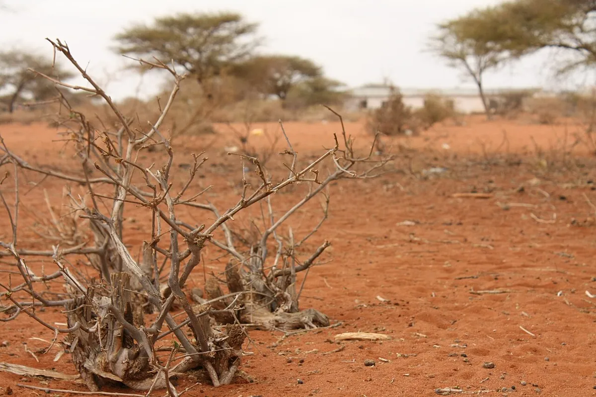
WJ
Wajir
County
Area
56,000 km²
Sub-PIU
Wajir Town
Aquifers:
Merti & North Basement
North-eastern county with nomadic pastoralist communities. Critical groundwater resources supporting livestock and domestic water needs.
GR
Garissa
County
Area
44,000 km²
Sub-PIU
Garissa Town
Aquifers:
Neogene (Lamu Embayment)
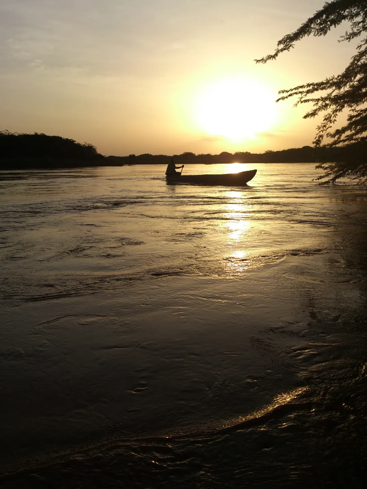
Located in north-eastern Kenya along the Tana River. Key focus on drought resilience for communities dependent on seasonal water sources.